With planes grounded and intercity buses still banned, this weekend we’re exploring the best of Colombia on our computers.
Everyone is longing for something right now. Whether it’s to go out without a mask, go dancing or hug a close friend. But for travellers, perhaps one of the biggest longings is to feast your eyes on Colombia’s skies, oceans, hills, and the unexpected encounters around every corner.
Whether you’re inside Colombia or outside her periphery, now the Primera de Mayo festivo is upon us, perhaps you’re thinking of what you might have been doing this weekend. Maybe you’re wondering whether you’ll ever get to realise your plans to explore Colombia’s many landscapes.
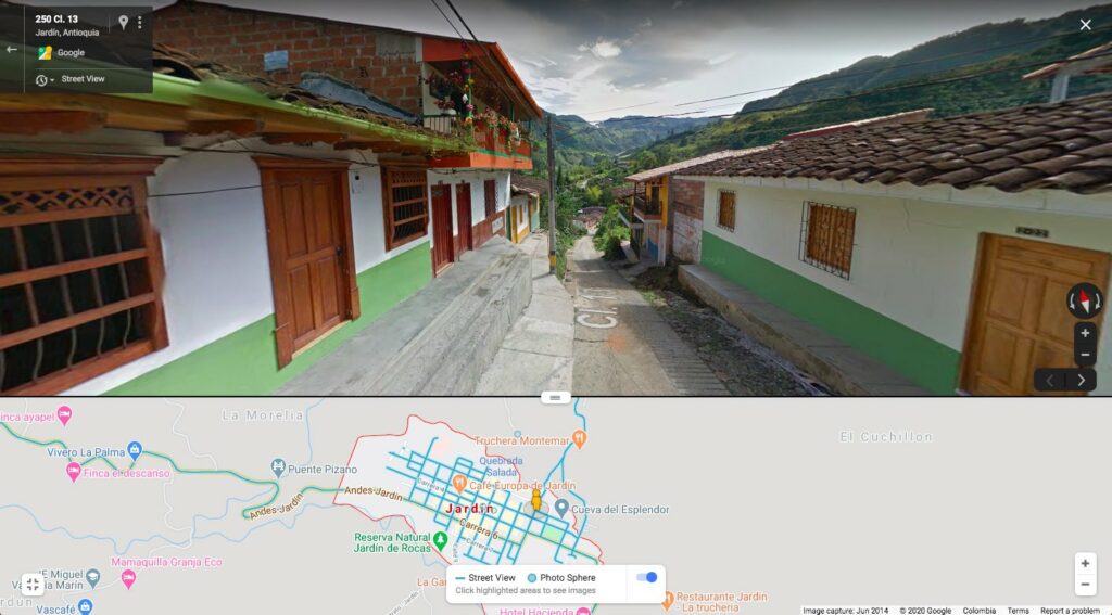
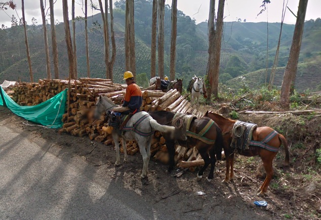
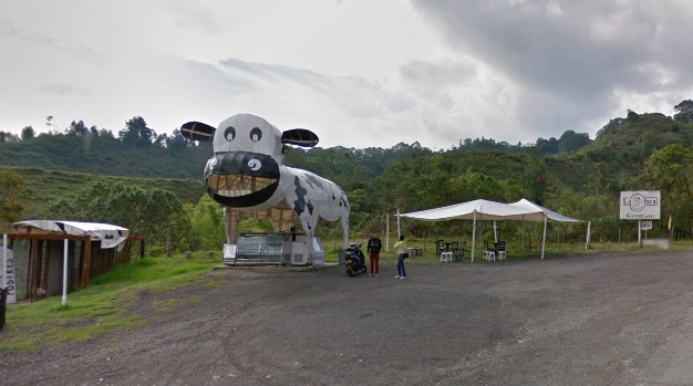
We thought we’d try to tour Colombia via Google Street View. It’s not quite 3D virtual tourism, but does scratch that travel itch a little. The simplest way to use Street View is to open Google Maps, press on the little yellow person icon on the bottom below right corner of your screen, and all streets that have been recorded with Street View will appear as blue lines on the map. Move the little yellow person icon to any street you want to explore and then scroll along, zoom in and out, drag your fingers along the street as far as the Google eyes allow.
Read our latest coverage on the coronavirus in Colombia
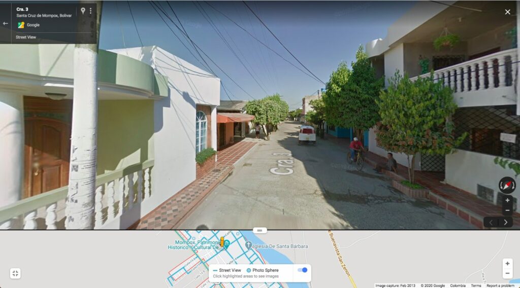
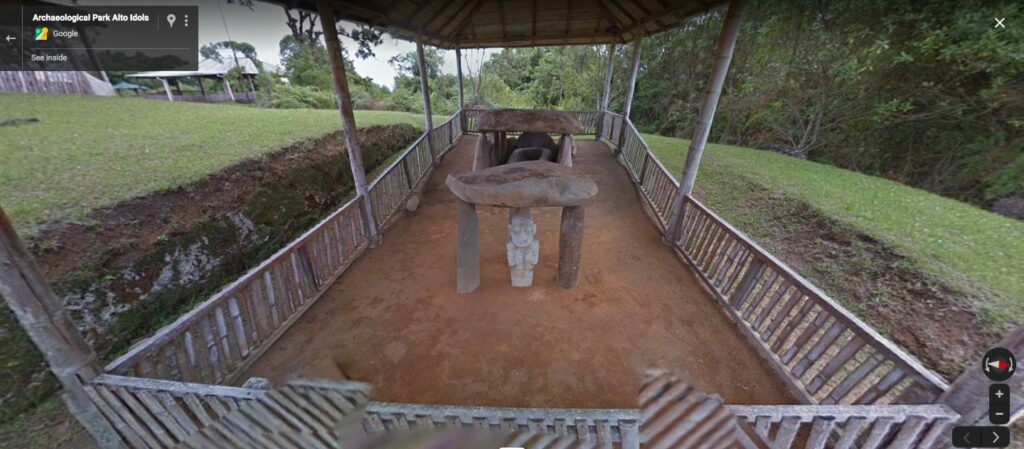
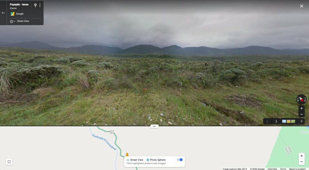
You can walk through the earnest stone statues in San Agustín, or see a lethargic bicycler in Mompox frozen on the screen. Sip a coffee while wandering the winding roads around the lush hills in Eje Cafetero. You can even spot the alien-looking plants of the paramo, or the roadside cafe you would have stopped for your morning arepa y tinto.
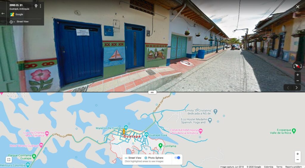
The power of pictures and romanticising from your sofa is obvious as even just whizzing by fincas in Antioquia brings the heat to your skin, or seeing the aligned pop of colours in the paintings of the house facades in Guatapé makes you feel like you are walking on the cobblestoned streets of Colombia’s most historic towns.
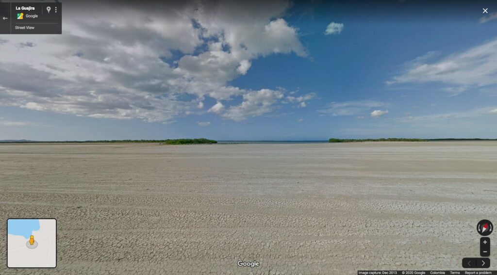
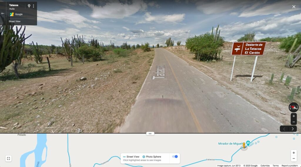
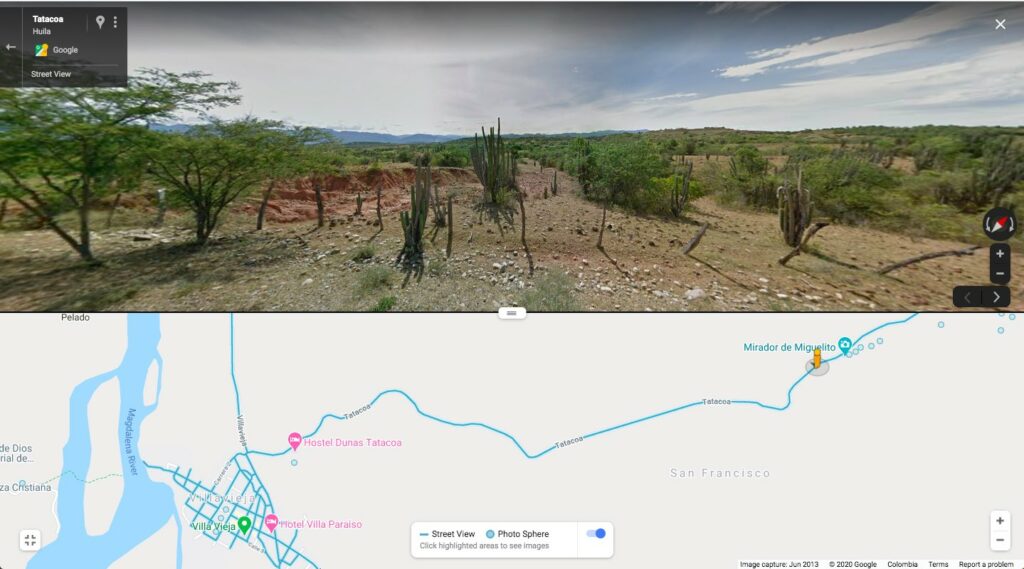
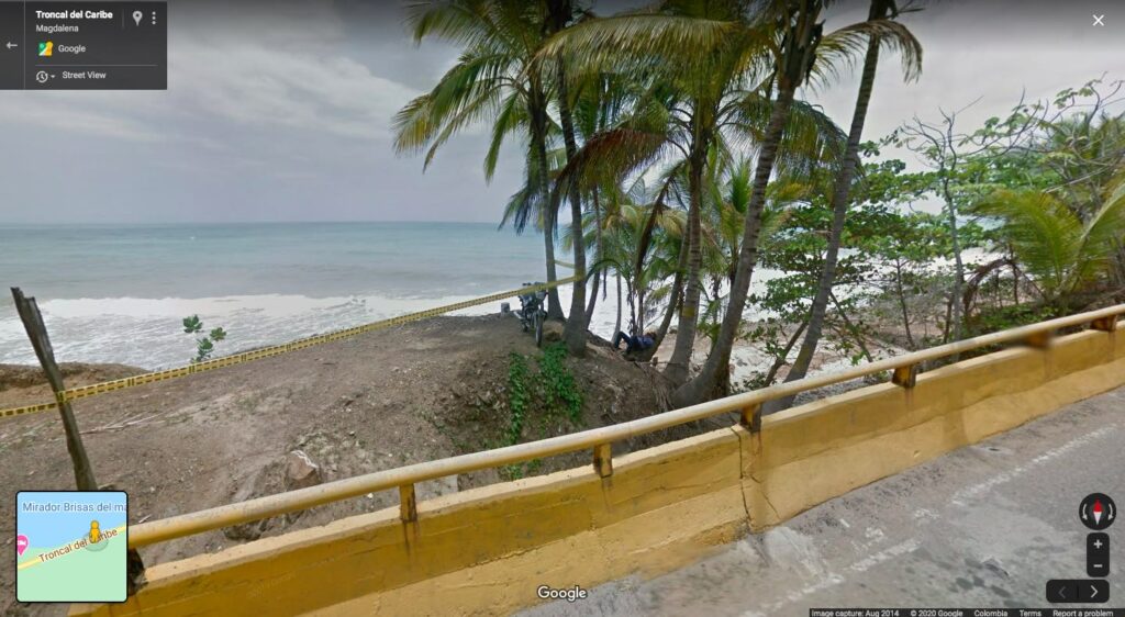
You may want to play some cumbia to accompany you on your journey along the Caribbean coast, that takes you all the way from Cartagena to Riohacha and further along to the dramatic desert-meets-ocean La Guajira. Speaking of desert, Street View allows you to wander out into the garden of cacti right in the middle of La Tatacoa desert.
Below we provide a selection of what we found whilst armchair travelling through our screens.
We prefer seeing your real time travel photos from Colombia. Tag your favourite photo on twitter with #TravelColombiaFromHome and show us your favourite photos showing unexpected encounters in Colombia, or use the hashtag for what you find on your armchair travels.